07775 853 348
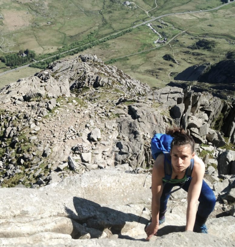
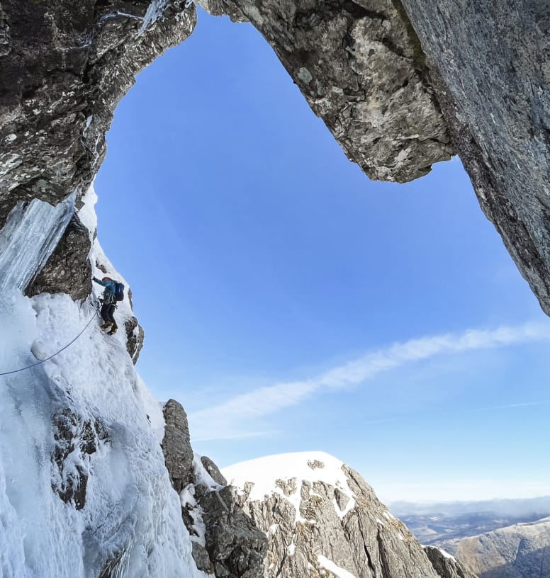
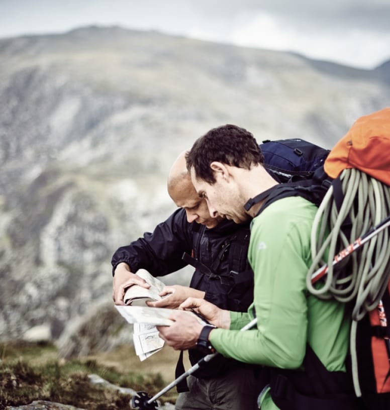
We provide an array of WINTER COURSES and NAVIGATION COURSES, if you would like to put your compass skills to the test.
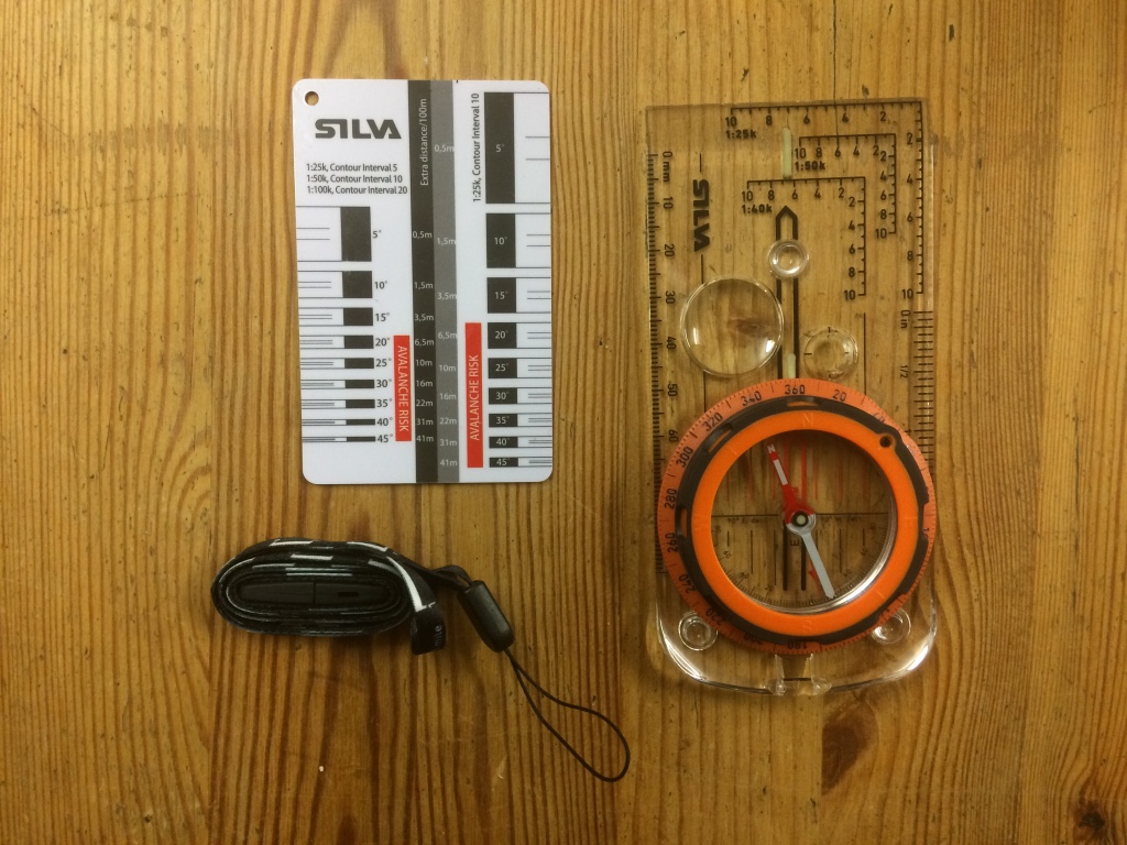
FEATURES:
- Easy to turn dial with big gloves on
- Direction of travel arrow much clearer
- Writing is much clearer
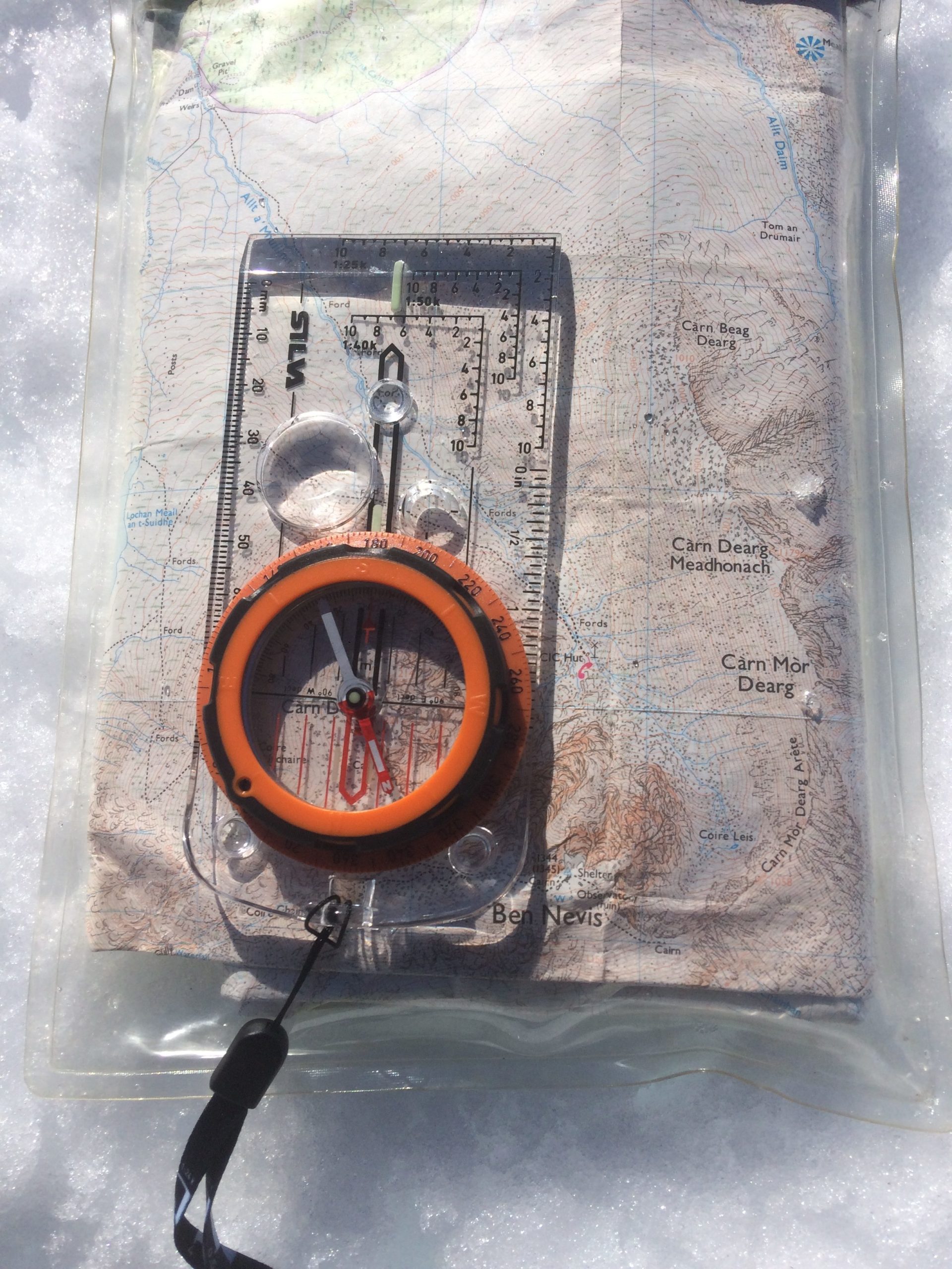
- Inclinometer/declinometer
- Magnetic North variation adjustor
- Clearer night vision
- Scaled lanyard for measuring distances
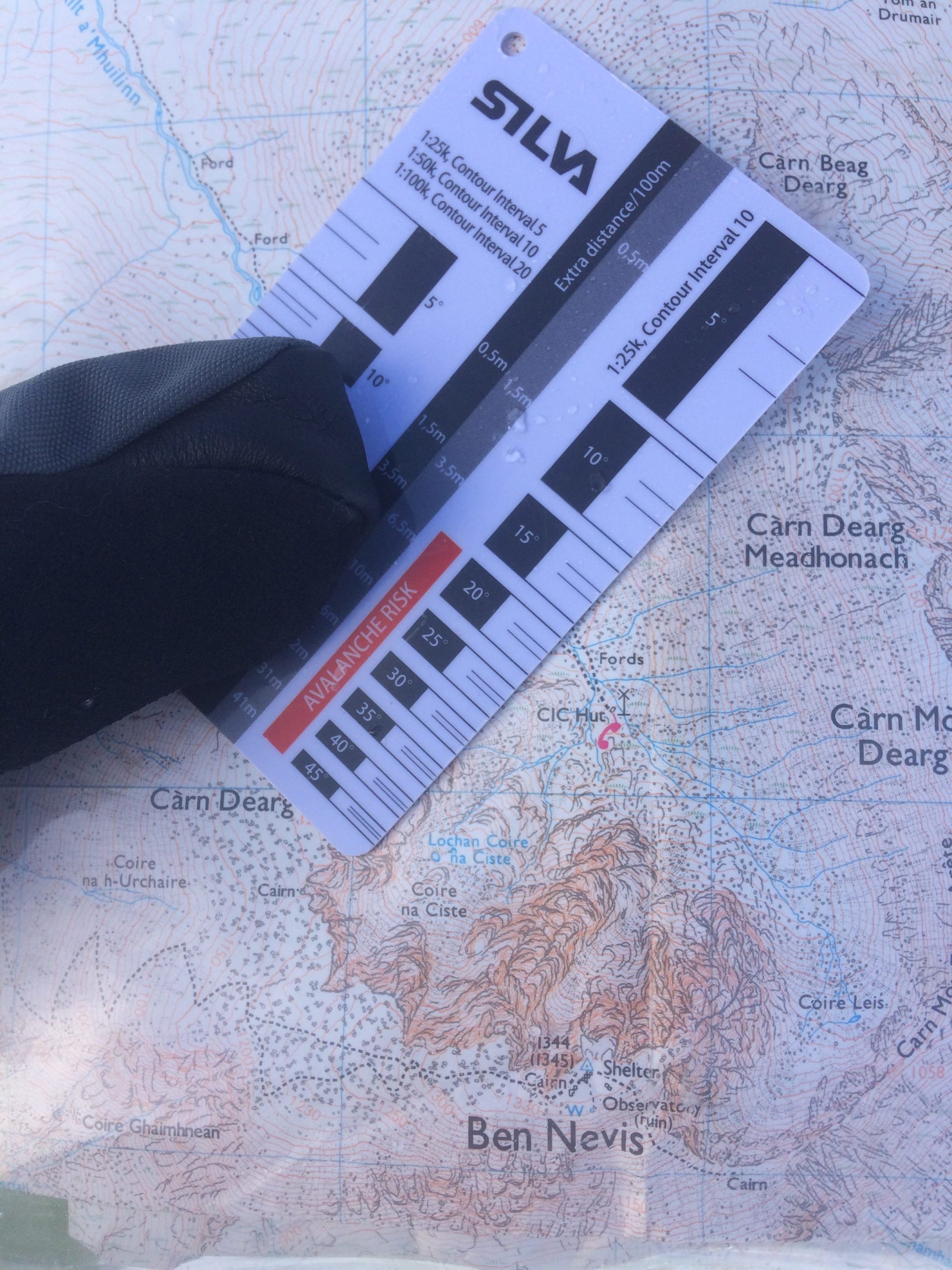
- Contour interval card, which indicates slope angle on a map
- Curved base plate, making it easier to pick up with gloves
- Useable on 1:25k, 1:40k and 1:50k maps
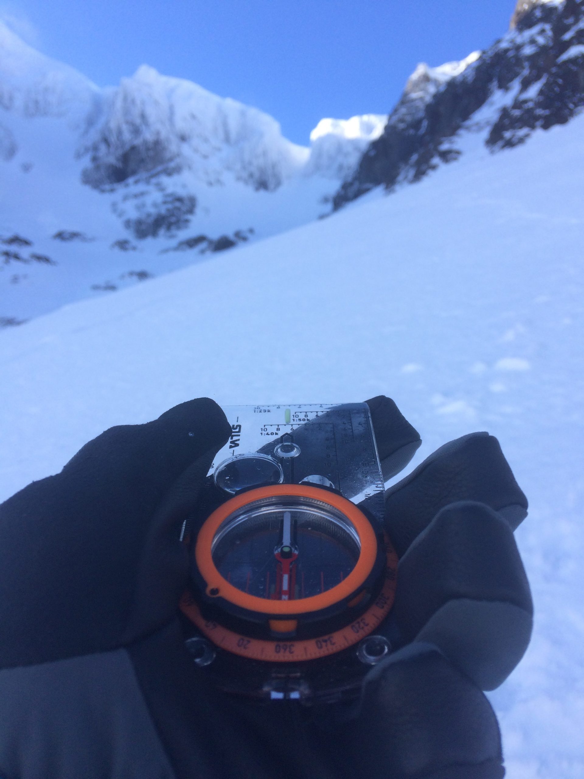
Upon first glance the Silva Expedition compass may seem similar (apart from the different coloured dial) to its predecessor, the Expedition 4. But on closer inspection, all of the writing and direction arrow are much clearer. Making it easier and more efficient to use, especially in some of the extreme weathers we experience in the UK’s mountains.
The dial housing is much easier to turn, especially with a big pair of gloves on. This is due to the dial having a Dryflex™ cover (sticky-like rubber), and being bigger.
OUT IN THE FIELD
When navigating at night, the luminous markings create a clearer direction, easier to follow. And at night you can use every little help. Also the built-in adjuster for magnetic declination/variation seems an ingenious feature. Before you go out, you adjust your compass according to the local magnetic variation at that time. So when taking/walking on bearings, there is no need to remember whether to add or subtract the variation.
But please do remember to adjust next time you go out, in case this has changed (https://www.ordnancesurvey.co.uk/resources/maps-and-geographic-resources/finding-north.html). You will notice a small screw on the housing, which you turn with a screw driver supplied within the lanyard. Sometimes it is the simplest of ideas, that seem the most innovative.